


Les Planches-en-Montagne Lac à la Dame CAF

TRIMAILLE
User
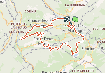

Length
26 km

Max alt
993 m

Uphill gradient
759 m
Km-Effort
36 km

Min alt
671 m

Downhill gradient
757 m
Boucle
Yes
Creation date :
2020-08-07 09:36:38.966
Updated on :
2020-08-08 14:50:55.821
7h32
Difficulty : Difficult

FREE GPS app for hiking
 SityTrail
IGN / Geographical institutes
SityTrail Plus
The world is yours!
About
Trail Walking of 26 km to be discovered at Bourgogne-Franche-Comté, Jura, Les Planches-en-Montagne. This trail is proposed by TRIMAILLE.
Description
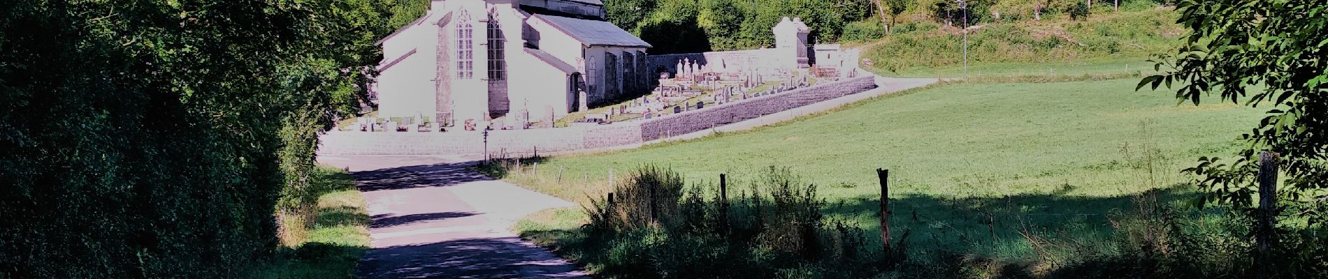
Départ du parking des gorges de la Langouette aux Planches en montagne.
Photos


Positioning
Country:
France
Region :
Bourgogne-Franche-Comté
Department/Province :
Jura
Municipality :
Les Planches-en-Montagne
Location:
Unknown
Start:(Dec)
Start:(UTM)
270889 ; 5171278 (32T) N.
Comments